The Australian Bureau of Meteorology uses “surrounding” thermometers to adjust for odd shifts in data (caused by things like long grass, cracked screens, or new equipment, some of which is not listed in the site information). The Bureau fishes among many possible sites to find those that happen to match up or , err “correlate” during a particular five year period. Sometimes these are not the nearest site, but ones… further away. So the BOM will ignore the nearby stations, and use further ones to adjust the record.
These correlations, like quantum entanglements, are mysterious and fleeting. A station can be used once in the last hundred years to “correct” another, but for all the other years it doesn’t correlate well — which begs the question of why it had these special telediagnostic powers for a short while, but somehow lost them? Or why a thermometer 300km away might show more accurate trends than one 50km away.
One of the most extreme examples was when Cobar in NSW was used to adjust the records at Alice Springs –almost 1500km away (h/t Bill Johnston). That adjustment was 0.6°C down in 1932 (due to a site move, we’re told). This potentially matters to larger trends because Alice Springs is a long running remote station — the BOM itself says that Alice Springs alone contributes about 7-10 % of the national climate signal.[1] Curiously Cobar itself was adjusted in 1923 by a suite of ten stations including Bendigo Prison which is another 560 km farther south in a climate zone pretty close to Melbourne. In 1923 Cobar official temperatures were adjusted down by a significant 1.3 °C. No reason is given for this large shift — a shift larger than the entire (supposed) effect of CO2 in the last hundred years.
Ken Stewart reminded me of these extreme records because he’s been hunting this week, and found some even longer ones.
Mount Gambier, in South Australia, has been adjusted with the help of Lismore in northern New South Wales, 1,526km away. (And it’s not as if there is a shortage of sites in this well populated part of South Australia.)
But the gong, the gold medal, the record breaking achievement for the Bureau, goes to…….
Alice Springs, in the Northern Territory, which has been adjusted using data from Collarenebri in New South Wales, 1,590 kilometres away.
See below on the map, the smattering of sites used to “correct” four different records in Australia: Albany, Alice Springs, Adelaide, and Gabo Island.
For foreign readers, bear in mind that it’s 4,000 km (2,500 miles) from one side of Australia to another.

Figure 5: A map of sites used to homogenize thermometer data in Albany (red), Alice Springs (purple), Adelaide (light blue), and Gabo Island (yellow). Obviously distances are very large and sometimes comparator sites are on the far side of mountain range
TonyfromOZ points out that the scale is easier to understand in this sort of map:

Australia and contiguous USA are roughly the same landmass. From truesize.com
While Alice Springs involves the most ridiculous distances, there are plenty of freakishly odd entanglements — like Hay, and Gabo Island. The latter thermometer is on an island in the Bass Strait, but the former, in Hay, is nearly 600km away, over the water, on the other side of the Great Diving Range, and far off, in a hot dry plain. Yet Hay in NSW was used to adjust the Gabo Island lighthouse data in 1920 and 1927 – but not in other years when the “teleconnection” between them apparently broke. Pfft. Just like that.

The climate can be really very different on either side of the Great Dividing Range, yet all these stations were used to correct Gabo Island.
We’ll be revisiting the joys of continental thermometer correction and the many permutations and combinations of statistical fun that can ensue. Because the BOM doesn’t have good metadata and isn’t starting with a full documentation search (like skeptics do) they don’t know which sites are good sites, (or were good sites) and can use bad data to ruin good data.
If you got a million dollars a day to study Australia’s climate, and you cared about it, you might think that getting all the historical documents in order would be your first priority. Others however, prefer to use statistical analysis and search for teleconnections in the data.
Many thanks to Bill Johnston who explained how homogenization works (inasmuch as anyone outside the BOM can know) and Ken Stewart, Siliggy, Chris Gillham, and the rest of the BoM unofficial auditors for their unpaid excellent help. And to Jennifer Marohasy who keeps doggedly asking about homogenization.
[1] Australia’s climate data FAQ, Australian Bureau of Meteorology, August 2015, p 25.
http://www.bom.gov.au/climate/change/acorn-sat/documents/ACORN-SAT_TAF_FAQ.pdf
http://www.bom.gov.au/climate/change/acorn-sat/documents/ACORN-SAT-Station-adjustment-summary.pdf
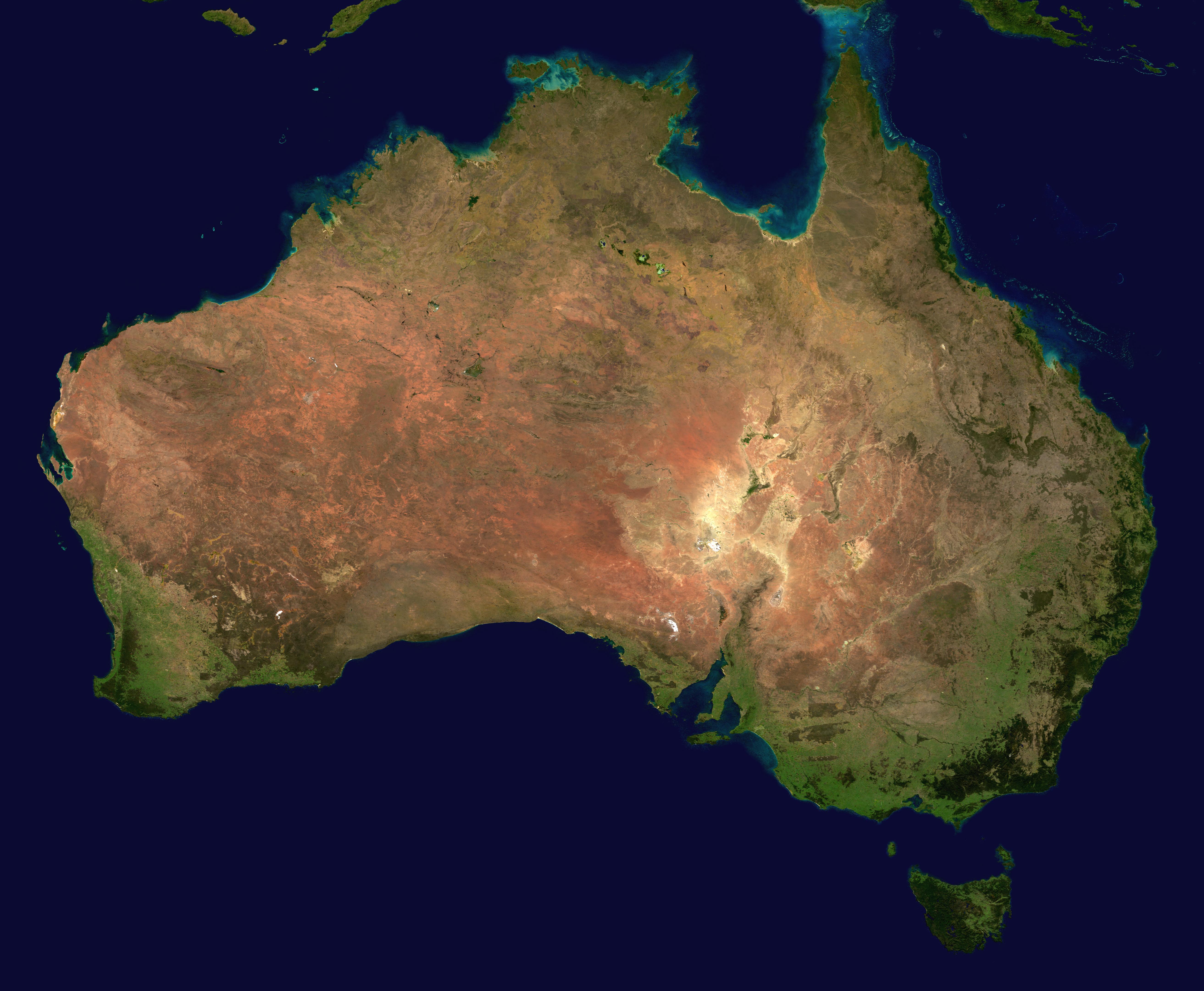
Image Wikimedia copy from NASA Earth Observatory